


Just this weekend, I've started a spin-off project from this one that simulates the area of downtown extending from the river north to just south of Adams Street and from 1st Street eastward to just east of Beaubien Street as it appeared on October 2, 1989, the same date as my other model, using this model as the base.
Like my other project, it will also be mostly accurate [[with artistic license), right down to the exact placement of most businesses then, including the restaurants mentioned in this thread and some fictional places. Yes, the old Hudson's store [[although the Dayton-Hudson Corporation would sell it just two months later) is still there in this model, as well as Cobo Center's recently-completed expansion.
In addition, like my other project, DDOT and SMART buses will be included, although I'm still unsure how SMART's buses appeared as of October 1989, so they will still be given the "Red Green treatment".
Also, like my other project thread, the goal of this one is you sharing your memories of what downtown was like in the fall of '89 [[specifically below Adams and between 1st and just east of Beaubien).
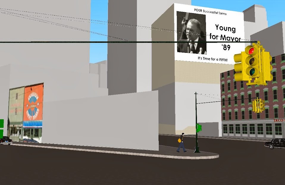
And so, I conclude this post with this screenshot, this one is of an intersection all coney fans will recognize:
Results 1 to 23 of 23
Thread: Downtown Detroit in 1989
Threaded View
-
October-31-13, 05:15 PM #1
 DetroitYES Member
- Join Date
- Feb 2010
- Posts
- 1,630
 Downtown Detroit in 1989

 Reply With Quote
 Posting Permissions
Instagram
DetroitYES navigation
DetroitYES Management
© AtDetroit LLC 2000 - 2024 unless otherwise specified. Please notify us of uncited proprietary content.
Welcome to DetroitYES! Kindly Consider Turning Off Your Ad BlockingX
DetroitYES! is a free service that relies on revenue from ad display [regrettably] and donations. We notice that you are using an ad-blocking program that prevents us from earning revenue during your visit.
Ads are REMOVED for Members who donate to DetroitYES! [You must be logged in for ads to disappear]
Ads are REMOVED for Members who donate to DetroitYES! [You must be logged in for ads to disappear]
DONATE HERE »
And have Ads removed.
And have Ads removed.
Bookmarks