


Maybe in 2015 they'll actually stabilize the banks and prevent the landslides that have been occurring after they supposedly fixed them, twice before, with tax payer money

Results 1 to 6 of 6
-
October-31-14, 12:09 PM #1Willi Guest
 USACE fix Red Run Drain aka Clinton River ?
Last edited by Willi; October-31-14 at 12:12 PM.
-
November-01-14, 12:24 PM #2Willi Guest
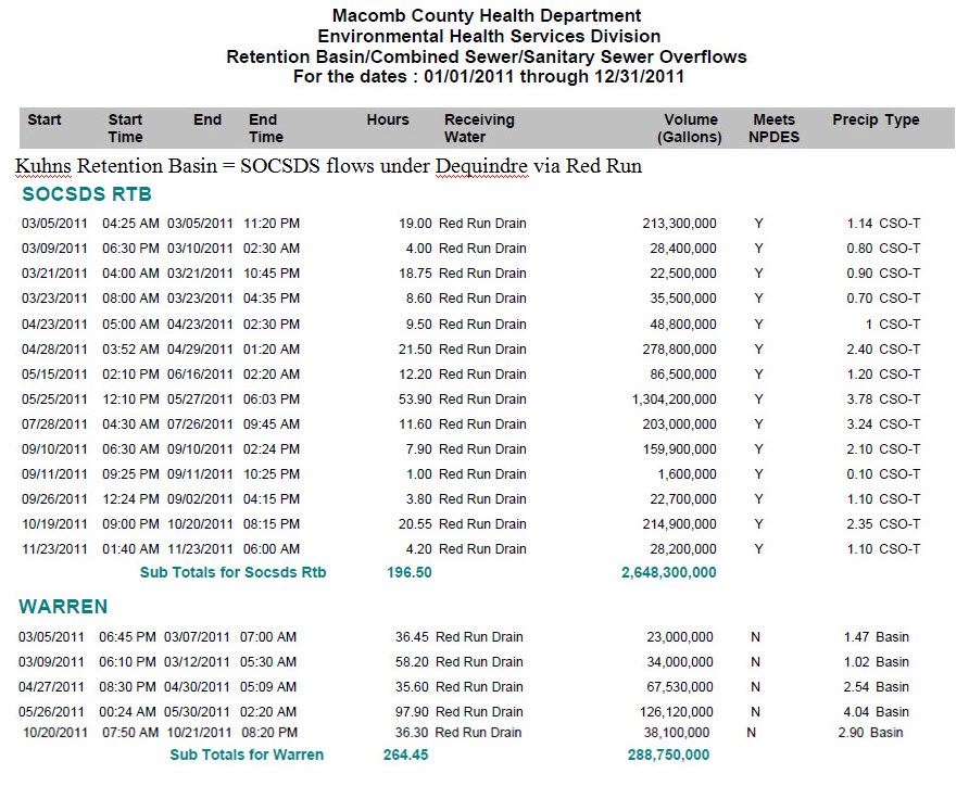
Many in Warren Michigan suffered flooding in 2011 as well
-Oakland County 12 Towns drains thru Warren via The Red Run.
It ALL ends up in the Clinton River and flows in Lake St. Clair.
Hackel doesn't speak much about what happens
at Dequindre Road, just north of 13 Mile, by the Dog Walk Park.............

Last edited by Willi; November-01-14 at 12:28 PM.
-
November-02-14, 04:36 PM #3Willi Guest
From a report back in 2007
http://www.epa.gov/glnpo/aoc/clinton...ntonRvrRAP.pdf
Sediments of the Main Branch of the Clinton River from Pontiac to the confluence with Red Run Drain are moderately contaminated with metals, petroleum hydrocarbons, some semi-volatile organic compounds, and nitrogen. Based on historical data, the contamination is fairly widespread throughout this portion of the river [[MDEQ, 1995).
In comparison, sediments from the Red Run Drain/Plum Brook drainage have historically been moderately to heavily contaminated with metals, petroleum hydrocarbons, semi-volatile organic compounds, and nitrogen. Contaminants of particular concern are mercury and PCBs because they have caused fish consumption advisories [[MDEQ, 1995).
The remainder of the downstream portion of the river and the spillway are the most heavily contaminated reaches within the watershed. Elevated levels of metals, petroleum hydrocarbons, semi-volatile organic compounds, nitrogen, PCBs, and DDT [[and its breakdown products dichlorodiphenyl dichloroethylene [DDE] and dichlorodiphenyl dichloroethane [DDD]) are common in the sediments.
The presence of DDT, DDE and DDD has been found localized in the lower strata of the sediment cores indicating historical usage of these contaminants. PCBs, where present, are commonly found in the surficial sediments as well as in deeper strata [[MDEQ, 1995).
-
November-07-14, 02:31 PM #4Willi Guest
USACE not exactly forthcoming, open and transparent in 2014 ......
-
November-07-14, 02:36 PM #5Willi Guest
Maybe they'll actually update the maps to reflect recent rainfall events around town.......
-
November-17-14, 07:51 PM #6Willi Guest
Does the GLWA oversee the InterCounty Drainage Board ?
Oakland County drains itself via the 12Towns Drain aka Kuhn Drain aka Red Run aka Clinton


 Posting Permissions
Instagram
DetroitYES navigation
DetroitYES Management
© AtDetroit LLC 2000 - 2024 unless otherwise specified. Please notify us of uncited proprietary content.
Welcome to DetroitYES! Kindly Consider Turning Off Your Ad BlockingX
DetroitYES! is a free service that relies on revenue from ad display [regrettably] and donations. We notice that you are using an ad-blocking program that prevents us from earning revenue during your visit.
Ads are REMOVED for Members who donate to DetroitYES! [You must be logged in for ads to disappear]
Ads are REMOVED for Members who donate to DetroitYES! [You must be logged in for ads to disappear]
DONATE HERE »
And have Ads removed.
And have Ads removed.
Bookmarks