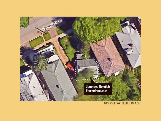
I can't answer for the chimney but the other grid is 'Public Land Survey System'. [[also refereed to as Township and Range). Eight mile was the Base Line for the system explaining the north south orientation. I wonder how much acreage the original farmer worked.
https://en.wikipedia.org/wiki/Public_Land_Survey_System
Results 1 to 25 of 50
Threaded View
-
February-28-16, 11:10 PM #3
 DetroitYES Member
- Join Date
- Feb 2014
- Posts
- 2,248

Last edited by ABetterDetroit; February-28-16 at 11:20 PM.
Welcome to DetroitYES! Kindly Consider Turning Off Your Ad BlockingX
DetroitYES! is a free service that relies on revenue from ad display [regrettably] and donations. We notice that you are using an ad-blocking program that prevents us from earning revenue during your visit.
Ads are REMOVED for Members who donate to DetroitYES! [You must be logged in for ads to disappear]
Ads are REMOVED for Members who donate to DetroitYES! [You must be logged in for ads to disappear]
DONATE HERE »
And have Ads removed.
And have Ads removed.


 Reply With Quote


Bookmarks